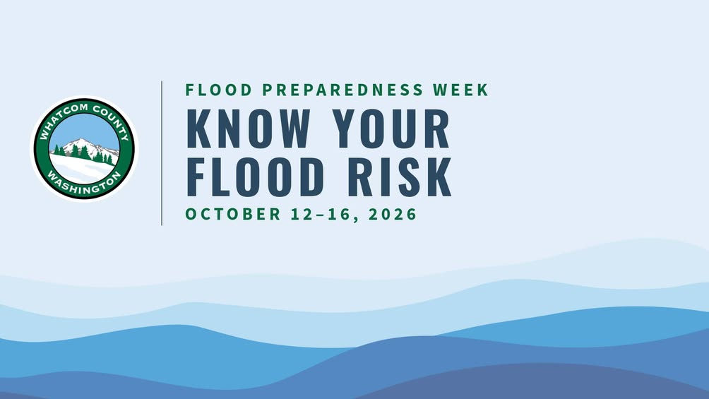
With Flood Preparedness Week scheduled for October 12 through 16, Whatcom County Public Works is encouraging residents to use the county's free online Natural Hazards Explorer to look up flood and other natural hazard information for any address in the county. The tool is available now and takes only a few minutes to use.
What the Natural Hazards Explorer Shows
The Whatcom County Natural Hazards Explorer is an interactive mapping tool that allows anyone to enter an address and instantly see what natural hazards affect that specific location. For most properties in the county, this includes flood zone designations based on Federal Emergency Management Agency mapping, as well as information on other local hazards such as landslide-prone areas, seismic risk zones, and erosion-prone terrain.
The tool is particularly relevant for residents who live near the Nooksack River and its tributaries, which have a documented history of flooding across large portions of Whatcom County. The Nooksack has flooded repeatedly in recent decades, and the lowland areas of the county, including communities like Everson, Nooksack, Sumas, and areas along the Guide Meridian, have seen significant flood damage. Knowing whether your property falls within a mapped floodplain is a critical first step in understanding your risk and your insurance obligations.
County officials note that looking up your hazard information is not just a planning exercise. For homeowners, being in a federally designated Special Flood Hazard Area, sometimes called the 100-year floodplain, typically means a federally backed mortgage lender will require flood insurance. Many residents may not realize their home is in a hazard zone until they go through the refinancing or sale process.
Why Flood Preparedness Matters in Whatcom County
Whatcom County is one of the most flood-prone counties in Washington State. The Nooksack River watershed drains a large portion of the North Cascades, and heavy autumn and winter rainfall, combined with snowmelt events, can push the river system far beyond its banks. Sumas, which sits at the north end of the county near the Canadian border, experienced catastrophic flooding in November 2021 that destroyed homes and displaced hundreds of families for months.
That 2021 event, which was among the most damaging floods in Washington history, underscored how quickly conditions can shift from manageable to catastrophic. Even residents who had never flooded before found water in their homes as the Nooksack overwhelmed levee systems and drainage infrastructure. The county has since pursued significant investments in flood infrastructure, but experts consistently emphasize that individual preparedness is a key layer of protection that no amount of infrastructure can fully replace.
Flood Preparedness Week, running October 12 through 16, will include shared resources and practical guidance on steps residents can take before the wet season arrives. Whatcom County Public Works plans to release information on sandbag access, emergency supply checklists, evacuation route awareness, and how to create a household flood plan. The week typically includes outreach to neighborhoods with elevated risk, including rural areas along river corridors where evacuation can be complicated by road flooding.
Simple Steps to Get Started Now
Public Works recommends not waiting for Flood Preparedness Week to start researching your hazard exposure. Using the Natural Hazards Explorer now gives residents time to take meaningful action before October's preparedness activities kick off. Those steps might include contacting a licensed insurance agent to ask about National Flood Insurance Program coverage, reviewing what items in a home or outbuilding are at risk if water enters, and talking with neighbors about shared drainage and how flooding moves through a neighborhood.
Residents who find their property is in a high-risk zone should also consider creating a "go bag" with essential documents, medications, and emergency supplies so they can leave quickly if conditions deteriorate. Knowing your evacuation route in advance and having a plan for pets and livestock is equally important in rural Whatcom County, where agricultural operations add complexity to emergency departures.
For those who want additional context on how county infrastructure and emergency management interact during flood events, coverage of Whatcom County's recent federal infrastructure investments offers relevant background on how the county is positioning itself for future emergencies. The Natural Hazards Explorer and additional preparedness resources are available through the Whatcom County website at whatcomcounty.us.