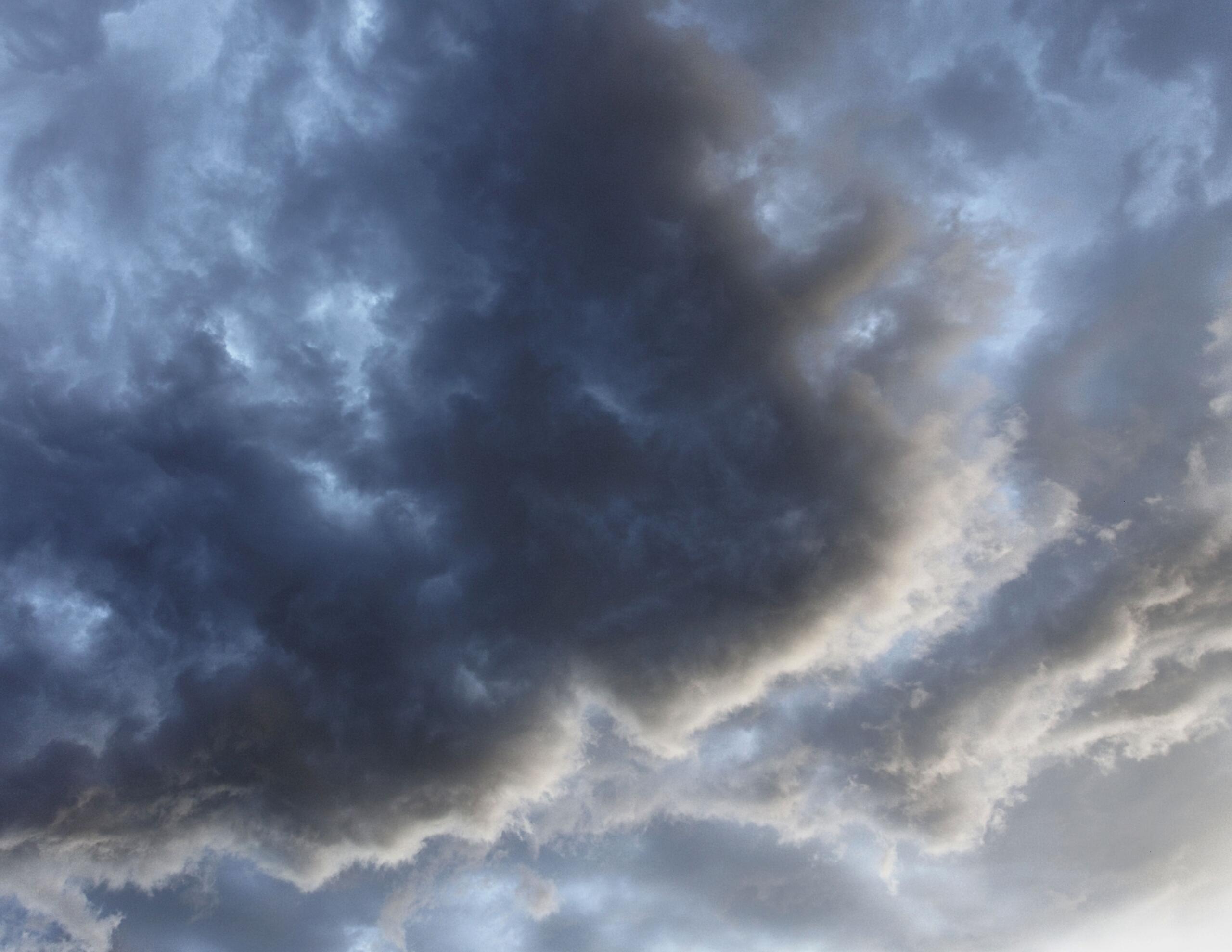
The National Weather Service has issued a fire weather watch for eastern Whatcom County, covering the west slopes of the North Cascades through Saturday evening, August 22. Forecasters are tracking the potential for scattered thunderstorms and showers across the region from late Friday night through Saturday, a combination of dry fuel conditions and possible lightning that raises the risk of new fire ignitions and could complicate suppression efforts on fires already burning in the area.
What the Watch Means
A fire weather watch is not the same as a Red Flag Warning, but it signals that conditions have a reasonable probability of meeting Red Flag criteria within the next 12 to 48 hours. Red Flag conditions are defined by a combination of low relative humidity, dry fuels, and wind or lightning that significantly elevates fire risk. The National Weather Service issues a watch when those conditions are expected but not yet certain enough to warrant an immediate warning. A separate Red Flag Warning was already in effect for higher elevations in the watch zone from 5 a.m. to 8 p.m. Saturday, indicating that forecasters had high confidence in dangerous conditions developing in that terrain during that specific window.
Residents and outdoor recreators in the eastern county should treat the watch as a signal to pay close attention to forecast updates through the day Saturday and be prepared to change plans quickly if conditions deteriorate. In fire weather situations, the gap between a watch and a warning can be short, and the National Weather Service updates its forecasts frequently during active periods. The National Weather Service in Seattle monitors fire weather conditions across western Washington and publishes forecast updates throughout the day on its website and through social media channels.
Any lightning that fires in the Cascades during dry thunderstorms, storms that produce lightning without significant accompanying rainfall, carries a meaningful risk of starting new fires. Dry lightning events are particularly dangerous in fire weather situations because the storm's downdraft winds can fan sparks while the rain evaporates before reaching the ground. Lightning-caused fires are also particularly difficult to detect quickly because they can smolder in duff, root systems, or fallen logs for hours or even days before becoming visible as smoke above the tree line.
The Existing Fire Situation
Whatcom County is already dealing with active fire activity going into the weekend. The Luna and Ptarmigan fires are burning in the far eastern part of the county near Ross Lake, in terrain managed by North Cascades National Park. The Whatcom County Division of Emergency Management noted Friday that it is in contact with incident management teams on both fires, though the county's Emergency Operations Center has not been activated for local response. Primary management of those fires falls under the National Park Service, with support from regional firefighting resources.
DNR fire danger levels for both the lowlands and the Cascades are rated at Very High, one step below the highest Extreme rating. That classification reflects several consecutive weeks of hot, dry weather and below-normal precipitation across the region. Fuels from forest floor duff to standing timber are dry enough to ignite easily and carry fire quickly, a condition that makes any new ignition a potential major incident rather than a manageable spot fire. The combination of existing fires, dry fuels, and incoming lightning-bearing storms is what elevates Saturday's situation from routine weather to a genuine public safety concern.
A Stage 2 burn ban has been in place countywide since July 17, prohibiting all open burning without exception. Stage 2 is the most restrictive level, banning campfires, burn piles, recreational fires, and any other outdoor burning regardless of the time of day or the apparent safety of the conditions. The ban remains in effect until further notice. Violations can result in significant fines and direct liability for fire suppression costs if a burn contributes to a wildfire, a financial consequence that can reach into the tens of thousands of dollars for a single incident.
What Residents Should Watch For
The most direct impacts from the fire weather watch are likely to be felt by people who live in or plan to visit the eastern Whatcom County Cascades: hikers, campers, and residents of communities like Maple Falls, Glacier, and the Highway 542 corridor toward Mount Baker. If you are planning an outdoor trip to those areas Saturday, check the latest forecast and watch for any upgrade from the current watch to a Red Flag Warning before you leave home. A Red Flag Warning upgrade means forecasters believe dangerous conditions are occurring or imminent, not just possible.
Campers already in the backcountry should note any weather changes carefully, particularly the development of afternoon thunderstorm activity on Saturday. A lightning strike near your camp is not just a fire risk; it is a direct personal safety hazard. Having a clear plan for shelter and evacuation if conditions change rapidly is prudent given the forecast.
For communities in the lowlands, the primary impact is indirect: the risk that lightning from Saturday's storms starts new fires in terrain that is already stressed and difficult to access with ground-based firefighting equipment. New fire ignitions in the backcountry can affect air quality rapidly if winds push smoke west toward populated areas. Whatcom County already saw declining air quality Friday from BC wildfire smoke, and any new ignitions locally would compound that situation in the days that follow.
Residents across the county should make sure they are signed up for Whatcom County emergency alerts through WhatcomReady, the county's emergency notification system, and should keep an eye on the Whatcom County Sheriff's Division of Emergency Management for updates as the weekend weather moves through. For the latest on how smoke and fire conditions are affecting air quality across Whatcom County this weekend, the full air quality report has details on current conditions by community.