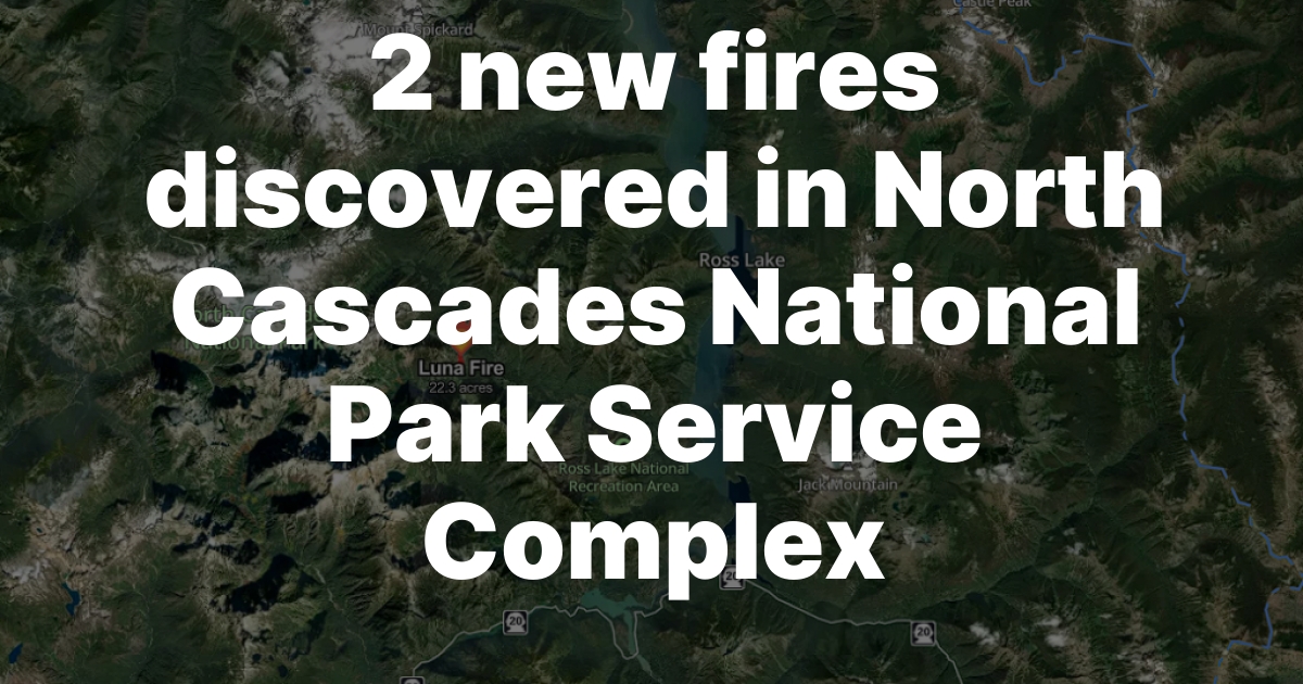
Two new wildfires were discovered in the North Cascades National Park Service Complex this week following lightning storms, bringing the total number of active fires in the park complex to three as of July 17, 2026. All three fires are being actively suppressed, with helicopter support and specialized wildfire crews deployed to each location.
The Border 1 Fire was first reported around 6:00 p.m. Thursday, July 16, and has burned approximately one acre. The Border 2 Fire was detected around 11:00 p.m. the same evening and covers approximately 0.25 acres. Both fires are located in Whatcom County near the United States-Canada border, east of Ross Lake. A Type-1 helicopter has been dispatched to deliver water drops in support of both fires, and the Olympic Wildland Fire Module arrived Friday to continue on-the-ground suppression efforts.
The Luna Fire: Three Weeks In
The larger and older of the three active fires is the Luna Fire, first detected on July 2, 2026. Located west of Ross Lake, the Luna Fire has grown to approximately 22 acres and has been the focus of sustained suppression activity for more than two weeks. The Warm Springs Wildland firefighters who were initially assigned to the Luna Fire have been demobilized and replaced by the Mission Valley Suppression crew, which was inserted earlier this week to carry the effort forward.
Suppression on the Luna Fire is supported by both a Type-3 and a Type-1 helicopter delivering water. A portion of the Luna cross-country zone has been closed in the McMillan Creek drainage area as firefighters work the terrain. Visitors and hikers planning trips into the Ross Lake area should check current trail and zone closures before heading out.
Fire restrictions have been in effect in the North Cascades National Park Service Complex since June 29, 2026. All campfires and the burning of wood, briquettes, or fuel in fire pits, fire pans, and barbecue grills are banned within the park complex for the duration of the fire restrictions. Anyone visiting the Colonial Creek Campgrounds, Diablo Lake area, or backcountry zones near Ross Lake should be aware that the fire ban is comprehensive and applies to all combustion sources including charcoal.
Weather, Smoke, and Visitor Information
The lightning storms that sparked the two new Border fires moved through the mountains late Thursday before giving way to a hotter and drier weather pattern on Friday. Whatcom County's emergency management briefing for July 17 noted that a Stage 2 burn ban is now in effect countywide as of 8:00 a.m. Friday, prohibiting all open burning in unincorporated Whatcom County in addition to the park complex restrictions. The Washington Department of Natural Resources has rated fire danger for the Cascades at Moderate to High.
Smoke from the Luna Fire may be visible from locations around the Ross Lake area, including from the North Cascades Highway (State Route 20) and from Diablo Lake overlook points that are popular with summer visitors. The smoke is a useful visual reminder of active fire conditions in the backcountry, but it should not be a reason to avoid the area entirely; the park remains open, and firefighting crews are managing the situation.
Drones are prohibited throughout the North Cascades National Park Service Complex at this time, both because of the active fire operations and as a general park policy. Drone flights interfere with aircraft operations including the helicopters conducting water drops on all three fires.
What Whatcom County Residents Should Know
All three fires are in remote backcountry terrain and do not currently pose a direct threat to roads, communities, or developed campgrounds outside the immediate fire areas. However, Whatcom County residents and visitors should be aware that the combination of active fires, a Stage 2 burn ban, and heightened fire danger means that any outdoor burning or uncontrolled spark source in the broader region carries significant risk right now.
The Stage 2 burn ban applies to all unincorporated areas of Whatcom County and prohibits all open burning without exception until the ban is lifted. The Washington State Department of Ecology has also declared a drought for Whatcom County as of April 8, 2026, a condition that contributes to elevated fire risk across the lowlands and foothills as well as in the mountains.
Residents near the foothills and forests of Whatcom County, particularly in communities like Maple Falls, Glacier, and the Sudden Valley and Acme areas, should review their wildfire evacuation plans and ensure their go-kits are current. The WhatcomReady website has information on signing up for emergency alerts and reviewing evacuation level definitions. For ongoing fire updates from the park, follow the North Cascades National Park Service website, which posts current incident information. For an earlier look at how North Cascades highway closures affect access to the region, see related coverage of Highway 20 conditions near Diablo Lake.