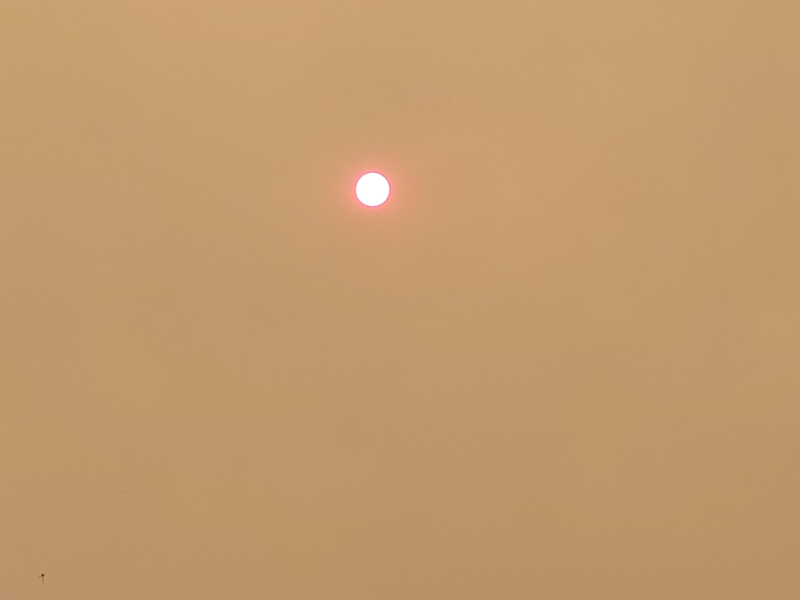
A fast-moving wildfire burning north of Hope, British Columbia is sending smoke south across the border, causing hazy skies and degraded air quality in parts of Whatcom County as of Monday, July 6.
The Brunswick Creek Fire ignited on Thursday, July 2, in the Fraser Canyon area of BC's Lower Mainland. The blaze grew rapidly over the Independence Day weekend, burning more than 3,000 acres by Monday and prompting evacuation orders for residents in the immediate Fraser Canyon corridor. Winds channeling down the Fraser River valley are pushing smoke south across the international border and into Whatcom County's northeastern communities.
Where the Smoke Is Hitting Hardest
IQAir monitoring data showed air quality readings in the Unhealthy for Sensitive Groups range in the Columbia Valley, Kendall, and parts of Lynden as of Monday afternoon. Bellingham's overall air quality index was reading in the moderate range at approximately 55, with PM2.5 concentrations around 11 to 12 micrograms per cubic meter -- elevated but within a range that poses limited risk for most healthy adults during normal daily activity.
Eastern and northern Whatcom County communities are most affected due to their proximity to the Fraser River corridor. Communities like Kendall, Maple Falls, and the Columbia Valley sit closest to the border and directly downwind of the Fraser Canyon drainage, making them the first areas in Washington to experience smoke from BC fires when northeast winds persist. The valley topography that makes the Fraser Canyon dramatic is the same geography that channels smoke efficiently southward.
The Northwest Clean Air Agency, which monitors air quality for Whatcom, Skagit, Island, and San Juan counties, had not issued a formal air quality alert as of Monday. NWCAA typically issues alerts when conditions reach or are forecast to reach the Unhealthy range for the general population. Conditions can shift quickly depending on wind direction and fire behavior.
Who Is Most at Risk
Air quality in the Unhealthy for Sensitive Groups range poses the greatest concern for children, the elderly, and people with pre-existing heart or lung conditions, including asthma, COPD, and cardiovascular disease. These populations should limit prolonged outdoor activity -- particularly vigorous exercise -- when readings are elevated. Even short periods of heavy exertion outdoors can significantly increase exposure to fine particulate matter from wildfire smoke.
For the general healthy adult population, moderate AQI readings like those currently in Bellingham pose limited risk during normal daily activity. However, anyone noticing increased irritation, difficulty breathing, or unusual fatigue during outdoor time should move inside and check current readings before resuming outdoor plans.
Health guidance for wildfire smoke exposure: stay indoors with windows and doors closed when possible; run air conditioning on recirculate rather than drawing in outside air; use air purifiers with HEPA filters if available; wear N95 or P100 masks if outdoor exposure is unavoidable. Standard surgical masks and cloth coverings do not filter the fine particulate matter from wildfire smoke effectively.
The Brunswick Creek Fire and the Fraser Canyon
The Fraser Canyon corridor in BC is one of the most geographically constrained valleys in the Pacific Northwest -- a deep, dry gorge carved by the Fraser River between Hope and Lytton. The canyon's topography makes it particularly prone to fast-moving fires: steep slopes covered in dry Douglas fir, limited access for ground crews, and wind patterns that funnel air through the canyon and across the border.
The area around Hope has seen repeated fire activity in recent years as BC's interior continues to experience warming temperatures and earlier snowmelt that extends the active fire season. The 2021 Lytton fire, which destroyed an entire town in the Fraser Canyon roughly 50 miles northeast of the current Brunswick Creek Fire, remains the starkest example of what these conditions can produce. BC Wildfire Service crews were working to contain the Brunswick Creek Fire as of Monday with air tankers and helicopters supporting ground crews.
The smoke impact on Whatcom County fits a broader regional trend. Studies by the Washington Department of Ecology and University of Washington atmospheric scientists have documented a steady increase in smoke days across northwest Washington over the past two decades, driven by larger and more frequent fires in BC and eastern Washington as fire seasons intensify. The health burden falls disproportionately on communities near the Canadian border with the least buffer from cross-border smoke transport.
Monitoring and Resources
Whatcom County residents can track current air quality through several free tools. AirNow.gov provides EPA-regulated monitoring data updated hourly, with a mobile app that gives zip code-based health recommendations. IQAir.com aggregates both regulatory and low-cost sensor data and provides a neighborhood-level searchable map. For the Washington Smoke Blog, maintained by state atmospheric researchers, check wasmoke.blogspot.com for forecast context.
For BC fire status and evacuation information near the border, BC Wildfire Service publishes real-time incident maps at wildfiresituation.nrs.gov.bc.ca. The forecast for coming days depends heavily on wind shifts and fire behavior. If the Brunswick Creek Fire continues to grow and northeast winds persist, impacts could extend further into western Whatcom County including central Bellingham. Residents sensitive to smoke should monitor conditions daily and adjust outdoor plans as needed.